Nature / Culture & discoveries
Giant's Causeway: How the Basalt Columns Formed and Three Ways to Look at Them
Look beyond the hexagons at Giant's Causeway: understand cooling lava, read the columns from three angles and avoid damaging the rock.
 Owen ·
United Kingdom · Northern Ireland
Giant’s Causeway
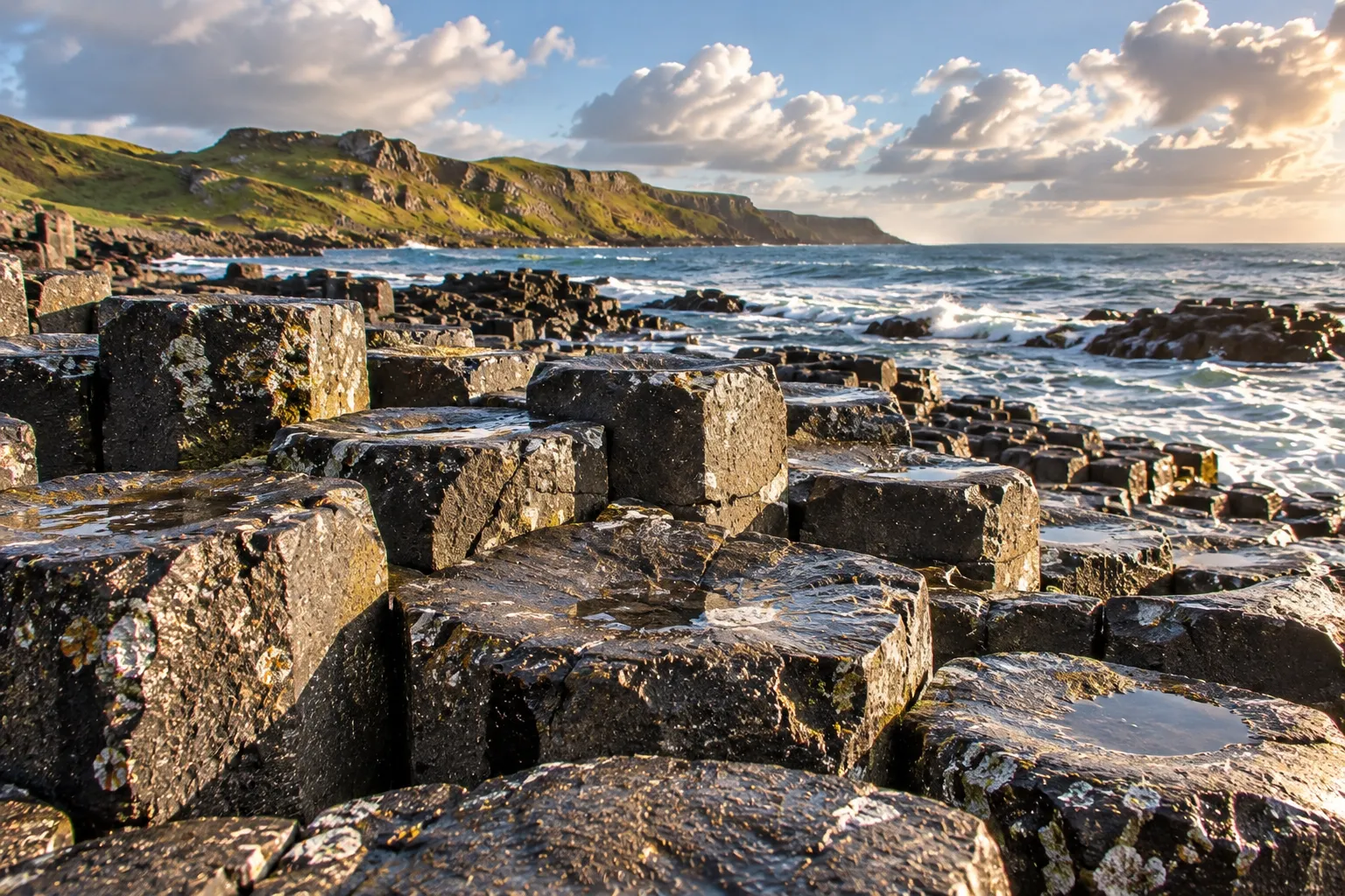
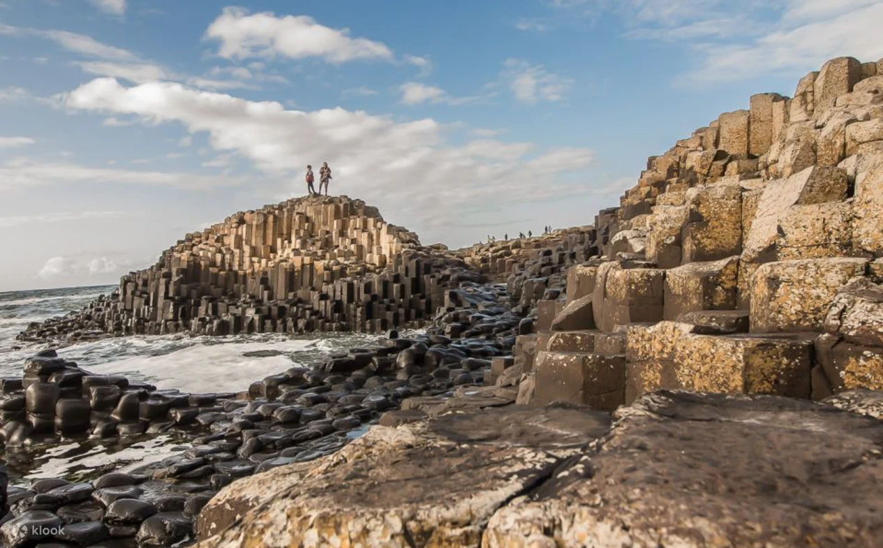
Basalt columns extend toward the Atlantic. Look at their polygonal tops, column sides, and the scale of the surrounding coast.
 View on the Festly map
From a distance, it looks like a broken platform. Up close, tightly fitted column tops come into focus. At Giant’s Causeway, on Northern Ireland’s coast, the surprise is the way order and irregularity coexist. The columns rise to different heights, the sea moves around them, and none of it was shaped to line visitors up neatly for a photograph.
A single overhead picture of the honeycomb pattern can miss the more interesting story of this coast. Think of the visit in three views: look at the tops, then the sides, then step back to see the columns within the coastline.
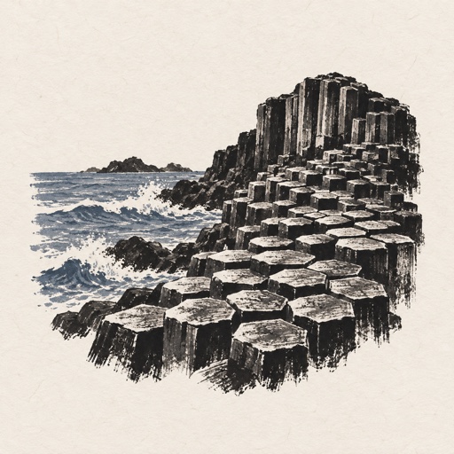
The columns formed as lava cooled and contracted
The National Trust, which manages Giant’s Causeway, traces its origins to ancient volcanic activity. Cooling lava contracted and fractured into columns. Later erosion by glaciers and the sea exposed more of the rock. The landscape you see today reflects both its formation and its gradual exposure. Source: National Trust landscape history.
The story of the giant Finn McCool offers another way to experience the place. Listening to the legend and finding imagined shapes can be part of the visit, without blending the story into the scientific explanation to make it more dramatic.
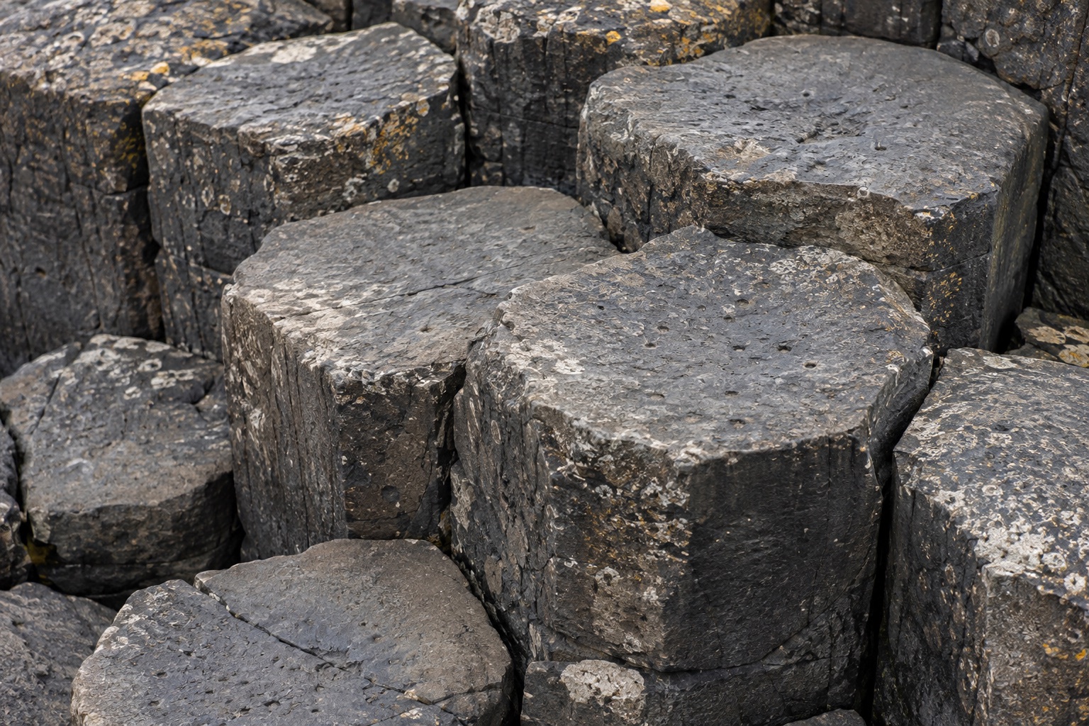
From the open route, study the tops and keep some coastline in the frame for scale
From a safe, open viewing position, follow the way neighboring tops fit together and cracks continue between them. You do not have to find the most perfect hexagon to understand the place. Including nearby edges, more distant changes in height and the waterline helps show a landform rather than decorative flooring.
Before taking a picture, ask what gives it scale. Crop every stone into a flat pattern and it becomes hard to read its relationship with the sea. Include some coastline or a column’s side to show more than a frame filled edge to edge with polygons.
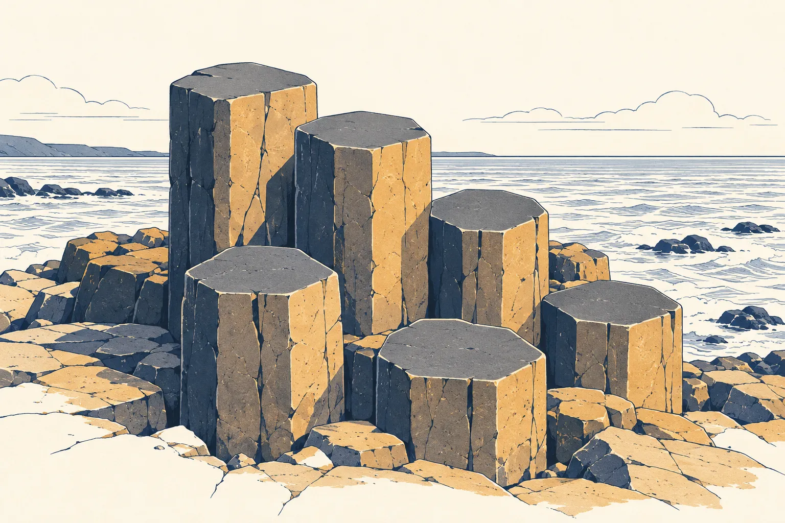
The side view shows the columns extending downward, without a step toward a slippery edge
Seen from the side, the fitted shapes on top become columns extending downward. This is the most direct way to understand what “columnar” means, and to take your observation beyond a place name and a count of stones. Chile’s Marble Caves work the same way: their veins and arches only come into focus from the lake. If you plan to go, Chile’s Marble Caves by boat or kayak compares both ways of getting close.
You do not need to leave the open route for a straight-on view of the sides. Adjust your position, use a suitable focal length or wait for other visitors to pass instead of moving toward a slippery edge. A photograph can convey the force of the landscape without demonstrating how precariously you stood.
Step back for one wide photograph of the columns meeting the Atlantic
The tops easily hold your attention. Step back to compare the proportions of sea, slopes and columns, and you can see why a small hexagonal model could never stand in for this place. Its identity comes from the rock formations together with the Atlantic coast, rather than geometry alone.
Try one wide photograph showing the space, followed by a detail. If time is short, a wide view and a close view can preserve more of the place than ten nearly identical close-ups.
| View | What it helps explain | Clues to keep in the photograph |
|---|---|---|
| Column tops | Cracks and interlocking patterns | Edges, scale and variations in height |
| Column sides | The columns’ three-dimensional form | Light and shade, the columns and waterline |
| Wider coast | The landform’s relationship with its surroundings | The proportions of sea, slopes and columns |
Coins corrode and expand, damaging the rock
A note about what you noticed, or a photograph with a sense of scale, preserves your connection with the coast better than a coin left behind. Before setting out, check the National Trust’s visit-planning information, then use the Festly Giant’s Causeway map to arrange nearby stops. Follow the day’s instructions for trails, waves and open areas.
Related places
Giant's Causeway
Open in Google Maps ↗Related experiences
 Klook
Giant’s Causeway and Northern Irish coast day tour from Belfast
A day trip linking the Giant’s Causeway, coastal sights, and filming locations, for travelers comparing alternatives to driving.
Departs Belfast. Time at the Causeway, admission charges, and stop order depend on the package. It is not a guided Red Trail hike.
View experience

Giant’s Causeway and coastal castles from Belfast
Travel from Belfast along the coast to the basalt columns, for travelers comparing a day trip without driving.
This is not a stand-alone trail or visitor-center ticket. Check time at the site, admission charges, and the meeting place.
View experienceDates, availability and inclusions are subject to the provider’s page.
Nearby stays

 Trip.com
Causeway Hotel — beside the visitor center
On Causeway Road near the Giant’s Causeway Visitor Centre, for travelers who want coastal trails close to their accommodation.
Proximity to the visitor center does not include every site service. Check actual walking routes and access.
View rooms
Bushmills Inn — Bushmills town
An inn developed from historic coaching-inn and mill buildings in Bushmills, for travelers combining a town stay with meals and nearby walks.
In Bushmills town, not at the Causeway entrance. Arrange transportation to and from the site separately.
View roomsRates, room availability and cancellation terms are subject to the provider’s page.
Browse all nearby stays
Frequently asked questions
Was Giant's Causeway built by people?
No. The National Trust explains the landscape through cooling and contracting lava that fractured, followed by erosion exposing the columns. The giant building a road is a cultural legend, not the geological explanation.
Is photographing the hexagonal tops enough?
The tops show interlocking patterns, the sides reveal the columns extending downward, and a wider view connects them with the coast. These views complement one another without requiring you to approach the waves.
Do coins left in cracks damage the stones?
Yes. The National Trust explains that corroding coins expand, damaging neighboring rock and leaving stains. Stop inserting coins and leave the site as it is.